Monitoring Lands
Projecting Future Impacts
TerrAdapt:Cascadia is a dynamic conservation planning tool being co-developed by TerrAdapt.org in collaboration with the Cascadia Partner Forum and other users across our region. TerrAdapt:Cascadia provides an always up-to-date, climate-smart, regional-scale perspective to local decision-making that has applications throughout the adaptive management cycle.
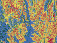
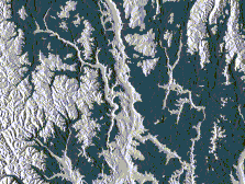
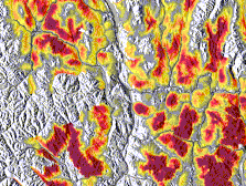
TerrAdapt:Cascadia uses the powerful remote sensing and AI capabilities of Google Earth Engine to monitor habitat and connectivity for select species and ecosystems of our region, project future impacts of climate and landscape change, and prioritize areas for conservation actions to increase resilience. These outputs are automatically updated each year. Integrating these capabilities into your adaptive management process provides always up-to-date, climate-smart information to guide implementation as well as monitoring and assessment capabilities to keep your plans relevant over time, even in our highly dynamic landscape.
Animations explaining the scope of TerrAdapt: Cascadia and how TerrAdapt technology supports the iterative stages of an adaptive landscape management cycle are available at this link.