Monitoring Lands
Projecting Future Impacts
The map and dashboard pages above are being co-developed by TerrAdapt.org in collaboration with the Washington Shrubsteppe Restoration and Resiliency Initiative (WSRRI). These portals help users monitor the Columbia Basin's shrubsteppe landscape, project future risks from climate change, and prioritize the landscape for siting conservation actions to increase resilience to threats.
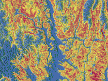
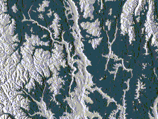
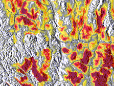
TerrAdapt:Cascadia uses the powerful remote sensing and AI capabilities of Google Earth Engine to monitor habitat and connectivity for select species and ecosystems of our region, project future impacts of climate and landscape change, and prioritize areas for conservation actions to increase resilience. These outputs are automatically updated each year. Integrating these capabilities into your adaptive management process provides always up-to-date, climate-smart information to guide implementation as well as monitoring and assessment capabilities to keep your plans relevant over time, even in our highly dynamic landscape.